Plik:India West Bengal adm location map.svg

Rozmiar pierwotny (Plik SVG, nominalnie 1039 × 1585 pikseli, rozmiar pliku: 350 KB)
Opis
| Opis |
Deutsch: Positionskarte von Westbengalen, Indien
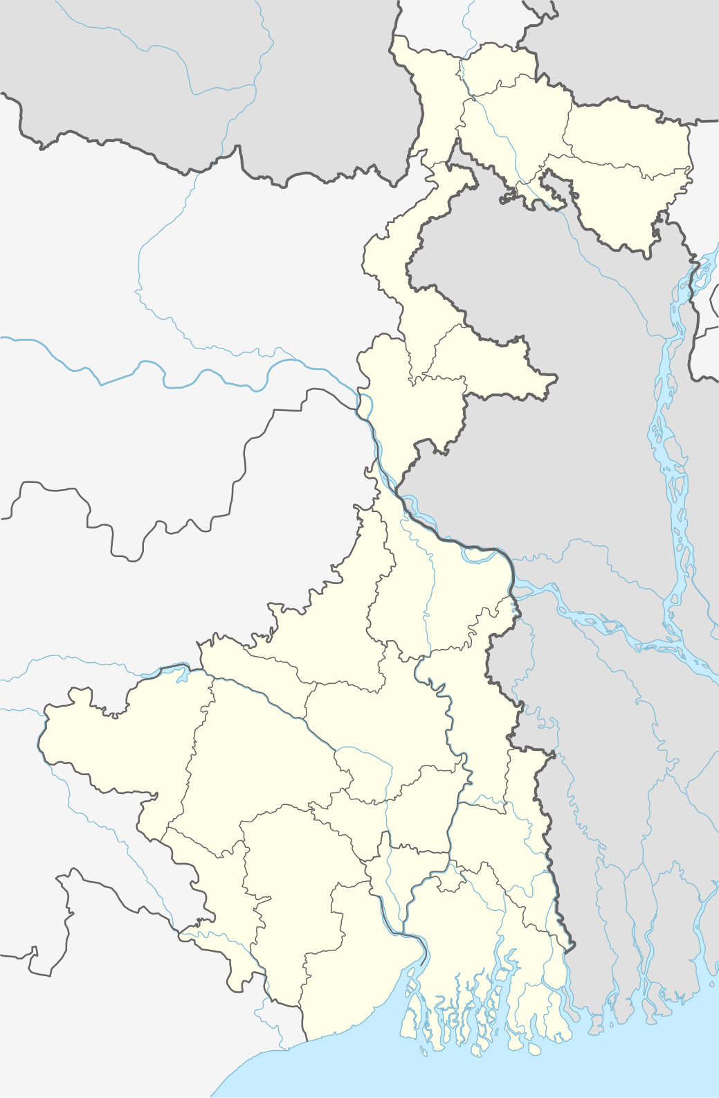
English: Location map of West Bengal, India
|
||||||||||||
| Data | |||||||||||||
| Źródło |
Praca własna przy użyciu:
|
||||||||||||
| Autor | NordNordWest | ||||||||||||

|
Ta mapa została stworzona lub ulepszona w niemieckiej Kartenwerkstatt (Pracowni Kartograficznej). I Ty możesz zaproponować inne mapy do ulepszenia.
|
Licencja
Usage of this file with:

explanatory notes: Legally binding is only the full legalcode. For a free usage I recommend to respect the following licence conditions:
1. Provide my name as given above: NordNordWest,
2. a copy of, or the URI for, the applicable license: https://creativecommons.org/licenses/by-sa/3.0/de/legalcode,
3. the title of the work,
4. in the case of an adaptation, a credit identifying the use of the work in the adaptation.
This license and the rights granted hereunder will terminate automatically upon any breach by you of the terms of this license. Any of the above conditions can be waived if you get permission from the copyright holder. If you have questions or wish differing conditions, please contact me through nnwest or my discussion page ![]() t-online.de
t-online.de
- Wolno:
- dzielić się – kopiować, rozpowszechniać, odtwarzać i wykonywać utwór
- modyfikować – tworzyć utwory zależne
- Na następujących warunkach:
- uznanie autorstwa – musisz określić autorstwo utworu, podać link do licencji, a także wskazać czy utwór został zmieniony. Możesz to zrobić w każdy rozsądny sposób, o ile nie będzie to sugerować, że licencjodawca popiera Ciebie lub Twoje użycie utworu.
- na tych samych warunkach – Jeśli zmienia się lub przekształca niniejszy utwór, lub tworzy inny na jego podstawie, można rozpowszechniać powstały w ten sposób nowy utwór tylko na podstawie tej samej lub podobnej licencji.

Historia pliku
Kliknij na datę/czas, aby zobaczyć, jak plik wyglądał w tym czasie.
| Data i czas | Miniatura | Wymiary | Użytkownik | Opis | |
|---|---|---|---|---|---|
| aktualny | 00:42, 27 kwi 2020 | | 1039 × 1585 (350 KB) | C1MM | Reverted to version as of 08:29, 23 May 2019 (UTC) |
| 00:41, 27 kwi 2020 |  | 1039 × 1585 (362 KB) | C1MM | Changed color of rivers according to French/German location map conventions: color #0978AB | |
| 10:29, 23 maj 2019 |  | 1039 × 1585 (350 KB) | NordNordWest | upd | |
| 13:42, 6 cze 2018 |  | 1039 × 1585 (335 KB) | NordNordWest | == {{int:filedesc}} == {{Information |description= {{de|1=Positionskarte von Westbengalen, Indien}} {{en|1=Location map of West Bengal, India}} {{Location map series N |stretching=110 |top=27.4 |bottom=21.3 |left=85.6 |right=90 }} |source={{Own using}} * United States National Imagery and Mapping Agency data * World Data Base II data |date=2018-06-06 |author={{U|NordNordWest}} |permission= |other_versions= }} {{Kartenwerkstatt}} == {{int:license-header}} == {{User:NordNordWest/LicenceMap}} ... |
Lokalne wykorzystanie pliku
Następujące strony korzystają z tego pliku:
Globalne wykorzystanie pliku
Ten plik jest wykorzystywany także w innych projektach wiki:
- Wykorzystanie na ar.wikipedia.org
- Wykorzystanie na as.wikipedia.org
- Wykorzystanie na azb.wikipedia.org
- کلکته
- تونقلو, باتی بنقال
- سانکاری, باتی بنقال
- روهینی, باتی بنقال
- پانچکولا (باتی بنقال )
- کوارا, باتی بنقال
- کاشیپور, باتی بنقال
- دبیپور, باتی بنقال
- پیاسالا
- فوتیقودا
- فولکوسما
- ساتاری, مالدا
- ساتپالسا
- ساتکول
- ساتبانکورا
- سارماستر چاک
- ساریشا
- سارنقا, بانکورا
- ساربریا
- سانتوری, پورولیا
- مایورهات
- مایورسوار
- مایدا, جایناقار
- مایاهاوری
- سانکرایل, جارقرام
- سانکار پارولیا
- سانقرامپور, ماقراهات
- ماتکاتپور
- کالیناقار, جایناقار
- کالیقرام
- ماسینا, پورولیا
- کالاپاتار
- سامودراقاره
- ماساقرام
- سامتا, ایندیا
- سامسی, مالدا
- ماروادیه
- کالابریا
Pokaż listę globalnego wykorzystania tego pliku.